Southern Ute Indian Tribal Council and the Environmental Protection Agency (EPA) have confirmed they will be going forward with a Superfund Emergency Response Program that will answer to the Animas River contamination spill last August – serving as an asset in preventing further incidences similar to the Gold King Mine.
The EPA announced the proposal to add the Bonita Peak Mining District to the National Priorities List (NPL). The NPL is the list of national priorities among the known releases or threatened releases of hazardous substance, pollutants, or contaminants throughout the nation.
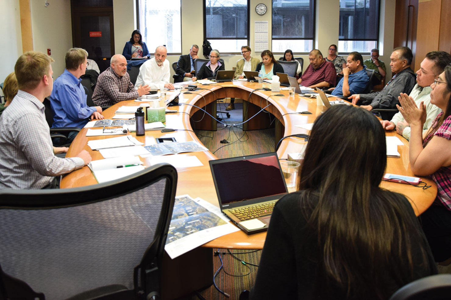
Tribal Council met with EPA associates on Tuesday, April 26 as well as the Southern Ute Environmental Protection Division to discuss the proposal of the Superfund site.
“The Superfund Program is designed to be a partnership between the state and EPA,” said Bill Murray, Director of the Superfund Remedial Program. “We will be out at the sites for a couple of years collecting data, and we think that’s what one of the best solutions there is. We’re going to be looking at the mine itself to understand the measures we’re taking, doing work that will be addressing the greater problems. The NPL will provide the resources to really investigate thoroughly.”
“When we were here last time, we realized how important the Animas River is here, and the EPA has taken full responsibility,” said Johanna Miller, Program Director of the Assessment & Revitalization Program. “We believe the Superfund facility will be the best way to assess the impacts of the mining spill. We talked generally about the Superfund Program and the resources it will bring … It’s the best way to address the legacy of these mining issues, but it’s not going to be a short project. It will take years of work.”
The Bonita Peak Mining District is located in southwest Colorado in unincorporated San Juan County, within the headwaters of the Animas River. The site consists of historic and ongoing releases from mining operations in three drainages, Mineral Creek, Cement Creek and Upper Animas, which converge into the Animas River near Silverton, Colo. Since it’s formation in the 1870s, forty-eight mining related areas within the site have been sated to contain waste rock, tailings, piles, and discharging mine drainage. The EPA believes these forty-eight locations are the priority sites within the mining distance.
Since Gold King Mine incident last August, the EPA has been treating adit drainage from the mine. They stated that other parties, including the Bureau of Land Management, US Forest Service, and the State of Colorado’s Division of Reclamation have completed past response activities within the mining district including analytical sampling, rerouting of adit discharge, installing bulkheads, and waste pile consolidation.
“The big part of the Superfund Program going forward is public involvement,” added Randy Brown, Tribal Project Officer of the Gold King Mine Senior Leadership Team. “The question we must ask ourselves – what can we do in terms of these monitoring fronts to share with the membership exactly what has happened? There will be more opportunity to hear more technical information.”
“It is important that our membership is provided information,” stated Councilman Alex Cloud. “The more we our given, the more we can do these tests ourselves.”