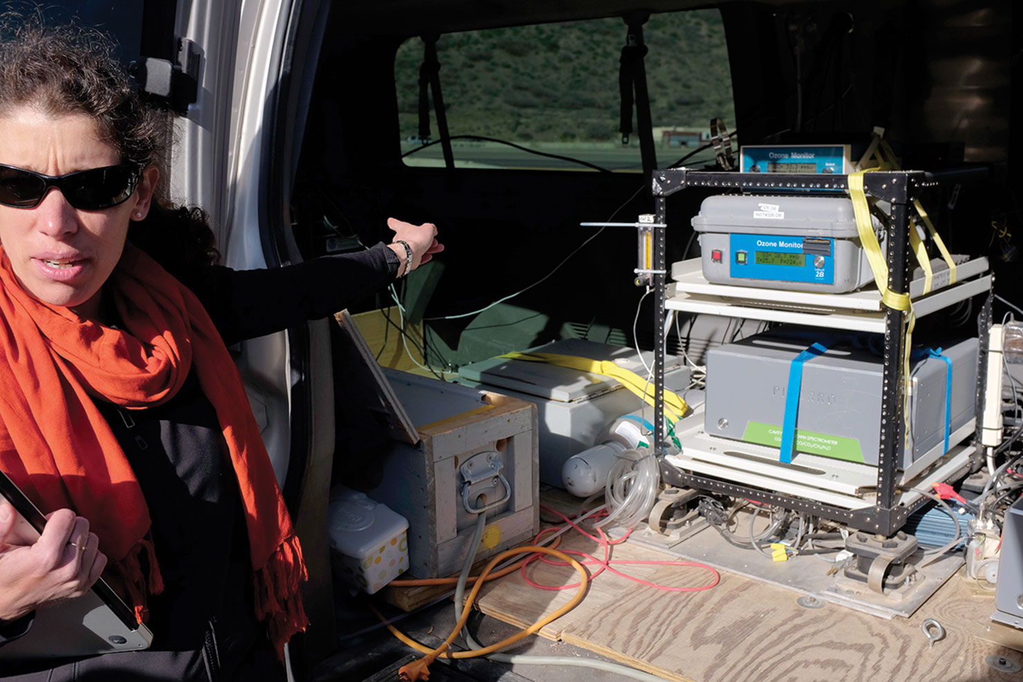
The large gray van pulled into the small gravel parking lot at Carbon Junction, adjacent to the highway leading into the town of Durango. Bearing almost no exterior markings, the NOAA (National Oceanic and Atmospheric Administration) mobile laboratory was clearly recognizable by a large boom mounted to the top of the vehicle and reaching over the front.
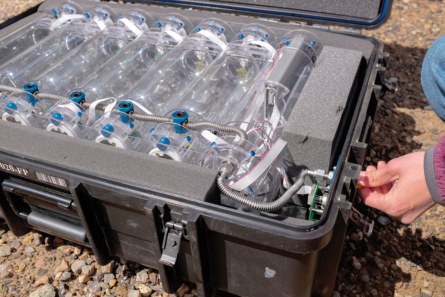
This arm houses the sensitive air monitoring equipment, which collects air samples in the field, and more specifically – the monitoring of methane activity in real time.
“The mobile lab is such an invaluable tool for talking about climate change,” said Eryka Thorley, a climate scientist from the University of Colorado, Boulder, working in NOAA’s Earth System Research Laboratory.
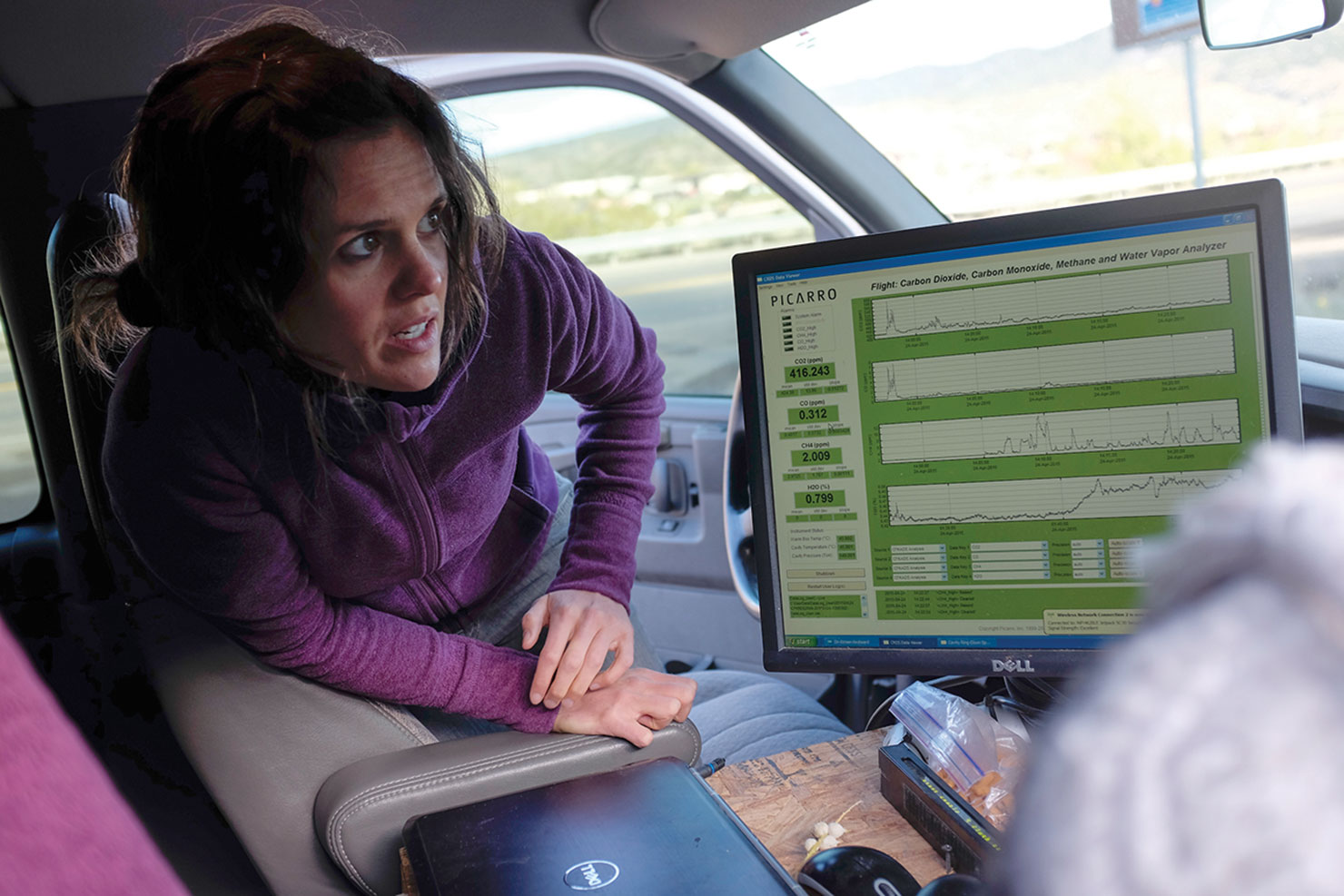
Within a few minutes of turning off the vehicles engine, built in data monitors were streaming new data, collecting and analyzing the air quality in real time, giving us a new band of data every two seconds. The source of methane was close at hand, and the readings were both strong and consistent, the data pointing to a significant band of exposed coal along the ridgeline adjacent to the Animas River, known in the scientific community as the “Fruitland Outcrop.”
Gabrielle Pétron, a climate expert from the University of Colorado, Boulder, also working in NOAA’s Earth System Research Laboratory led us on a short hike up the arroyo, where the shale beneath our feet gave way to dark rich coal outcroppings. The morning sun had just begun to hit the ridgeline above us and the air was cool and crisp.
Pétron explained that depending on the geological layering of these coal seams, varying amounts of methane will be emitted into the atmosphere, or it will remain trapped under the Earth’s surface.
The prevalent methane readings are clear evidence that natural sources are playing a key role in the regional methane levels, which have caught national attention in recent years. Yet natural sources alone cannot account for the “Methane Hotspot” now known to exist in the San Juan Basin.
Pétron produced a laptop used in her field studies to show us a computer rendering of the San Juan Basin, a large swath of land extending itself across the Four Corners Region of Arizona, Colorado, New Mexico and Utah. The rendering showed us basic topography, and a few key landmarks. With the click of a button, the map was overlaid with pin heads, each one representing active well sites across the Four Corners, each one potentially adding to the regional methane levels – the map was covered.
Pétron added, that in addition to the inventory of active sites, which are still being used to gather oil and natural gas, she estimates that an almost equal number are listed as inactive, which also could potentially contribute to the regional methane levels – even though they have been decommissioned.
“The scale of it is really impressive,” said Eric Kort, a climate expert with the University of Michigan, in terms of natural gas production.
“This is a really productive basin,” said Kort.
The ultimate goal of the regional air quality study, known as The San Juan Field Campaign [spring 2015], is to collect as much data as possible in an effort to pinpoint individual sources and see where the methane levels are most prevalent.
“It’s tricky to really pull it all apart,” Kort said.
While scientists might detect a strong methane signal in a specific region, they must use data gathered in the field to determine the actual source of the methane, and then identify whether the source is naturally occurring, or a result of industry or agriculture. Often, it is a combination.
To make it more complicated, methane readings recorded in this basin could be in part the results of strong winds depositing methane from other regions, ultimately settling in the Four Corners due to the topography.
Driving Northeast out of town, the NOAA lab was soon taking air samples along one of La Plata County’s rural roads along the West Fork of Texas Creek. The instrumentation was able to pick up the two-second readings while the van was in motion, methane levels clearly spiked as the team rolled past some of the natural gas wells located along rural routes.
“We are all trying to work together to get the best picture,” Thorley said. “It’s such a great experience to work with this group.”
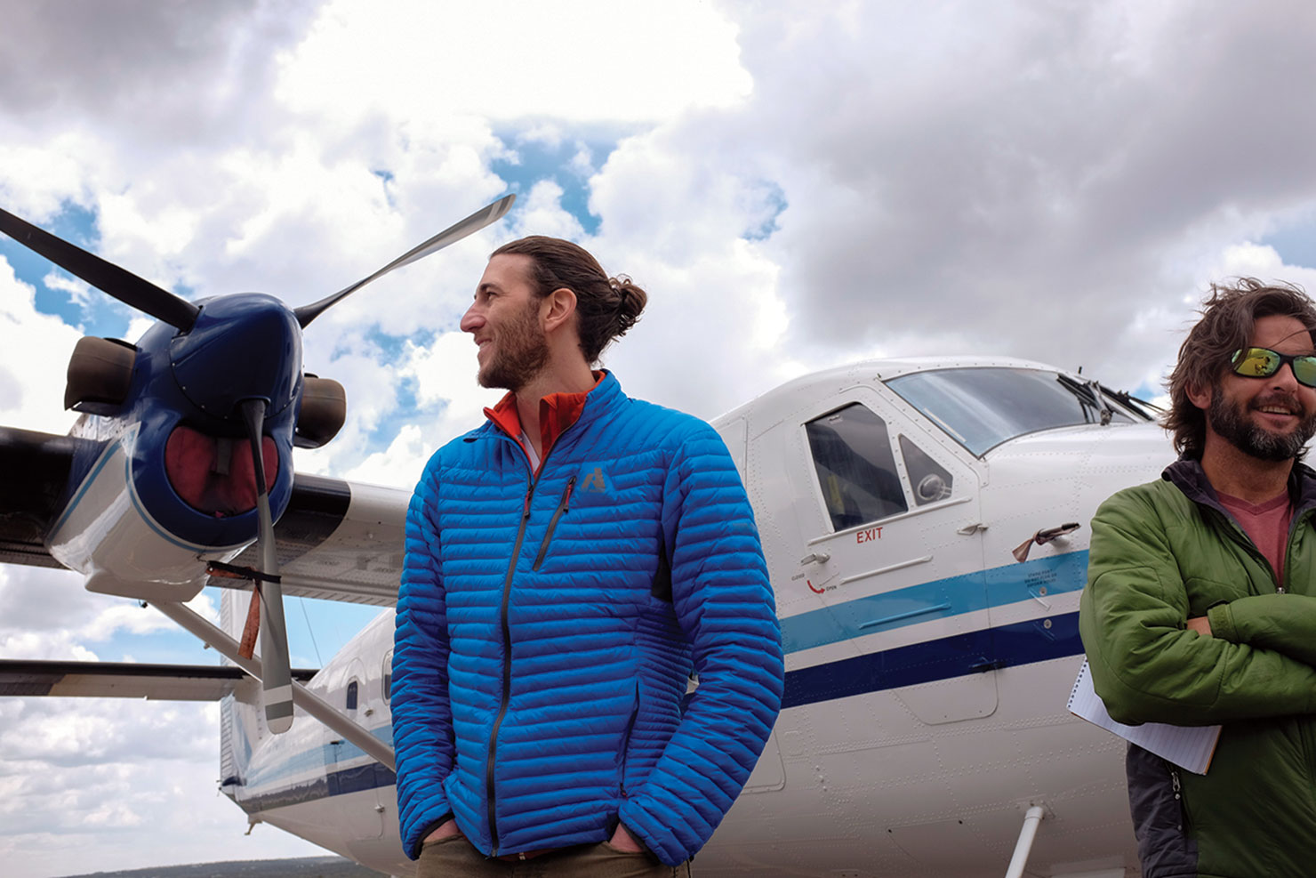
While Pétron and Thorley collect regional air samples from the ground, teams systematically collect data from the San Juan Basin by aircraft, basing their operations out of the Durango-La Plata County Airport.
This [study] has gained a sustained interest from the local community,” Kort said.
“It’s obvious they really care about air quality and what they can do about [improving] it,” Thorley said, regarding opportunities to collaborate with the Southern Ute Indian Tribe.
