

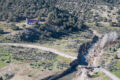



The Southern Ute Indian Tribe proclaimed a state of local disaster on the Southern Ute Indian Reservation following heavy rainfall that began on or about Thursday, Oct. 22 which led to destructive flooding. The following weekend, on or about Saturday, Oct. 31, more rain hit the area leaving previously flooded areas at risk. The rain has since cleared, now the Tribe and its Emergency Operations Command (EOC) shift their focus to flood recovery efforts – prioritizing the tribal membership, while also working closely with other efforts organizations.
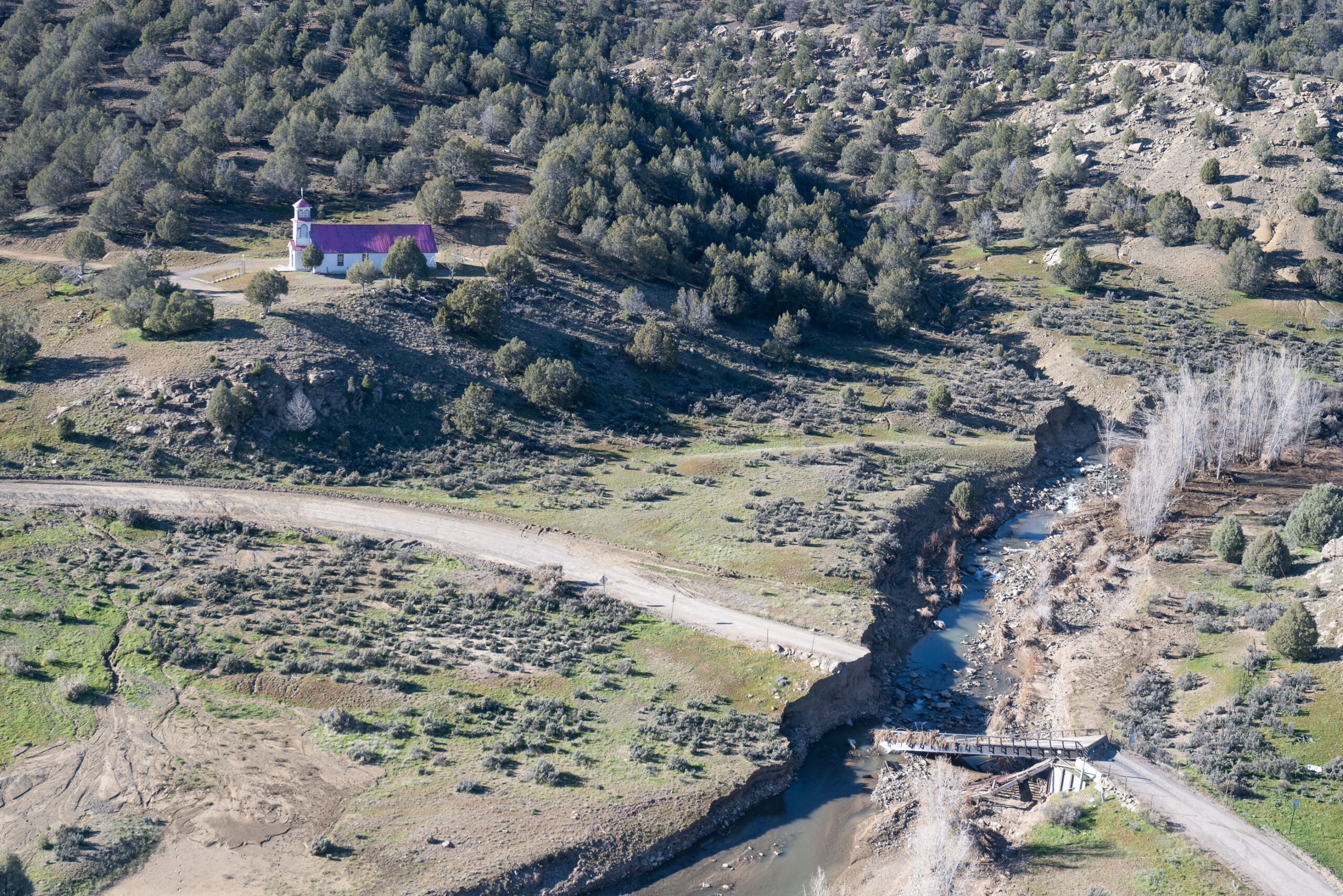
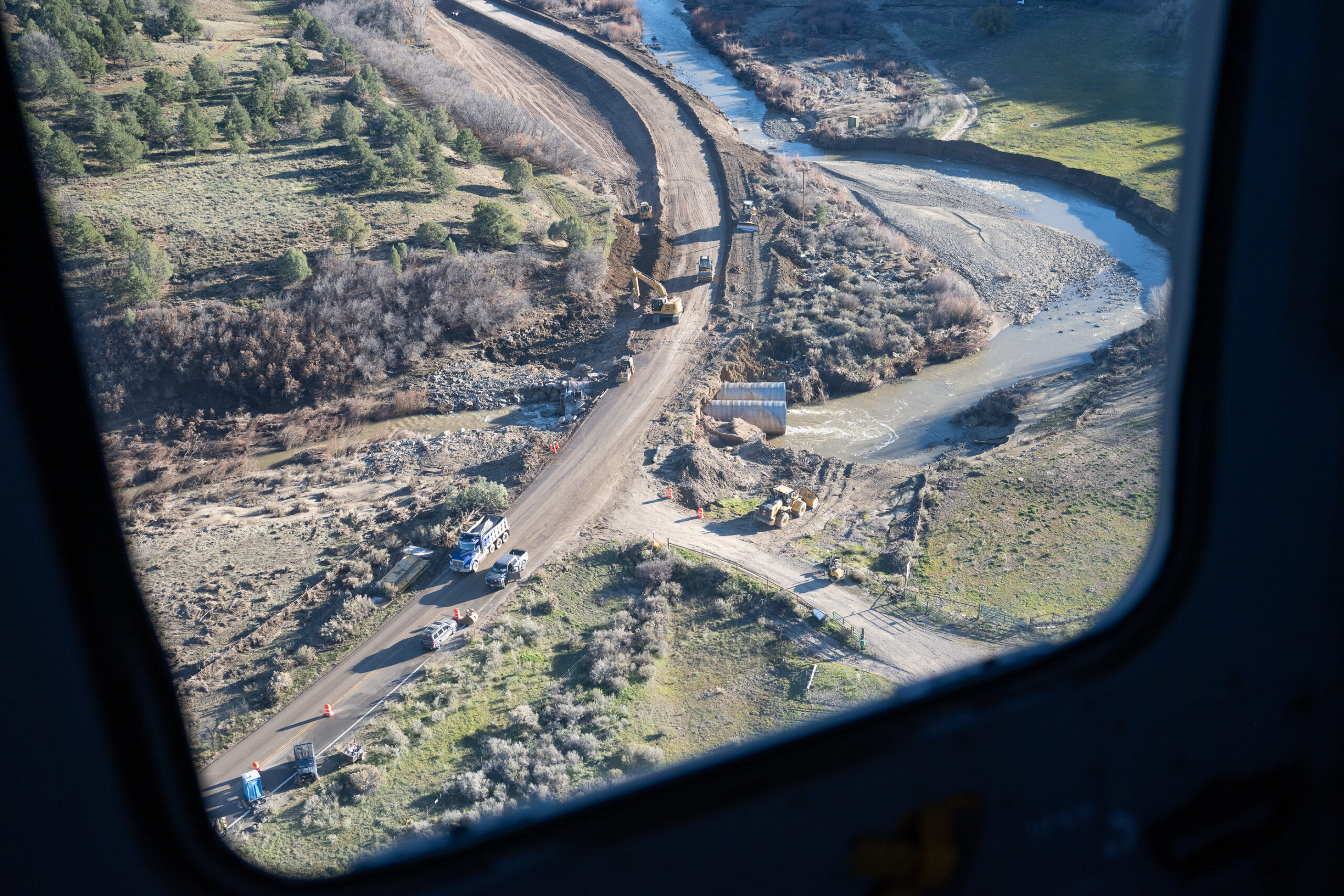
Damage to various roadways, highways, and structures have been identified on or around the Southern Ute Indian Reservation, luckily field assessments by officials indicate minimal residential flood damage, with no total loss of homes identified during ongoing inspections. According to an official public service announcement published by the Southern Ute Indian Tribe on Friday, Nov. 6, repair efforts remain active at critical infrastructure locations including Fosset Gulch and Cox Circle while country and Tribal partners continue to evaluate road conditions and road impacts.
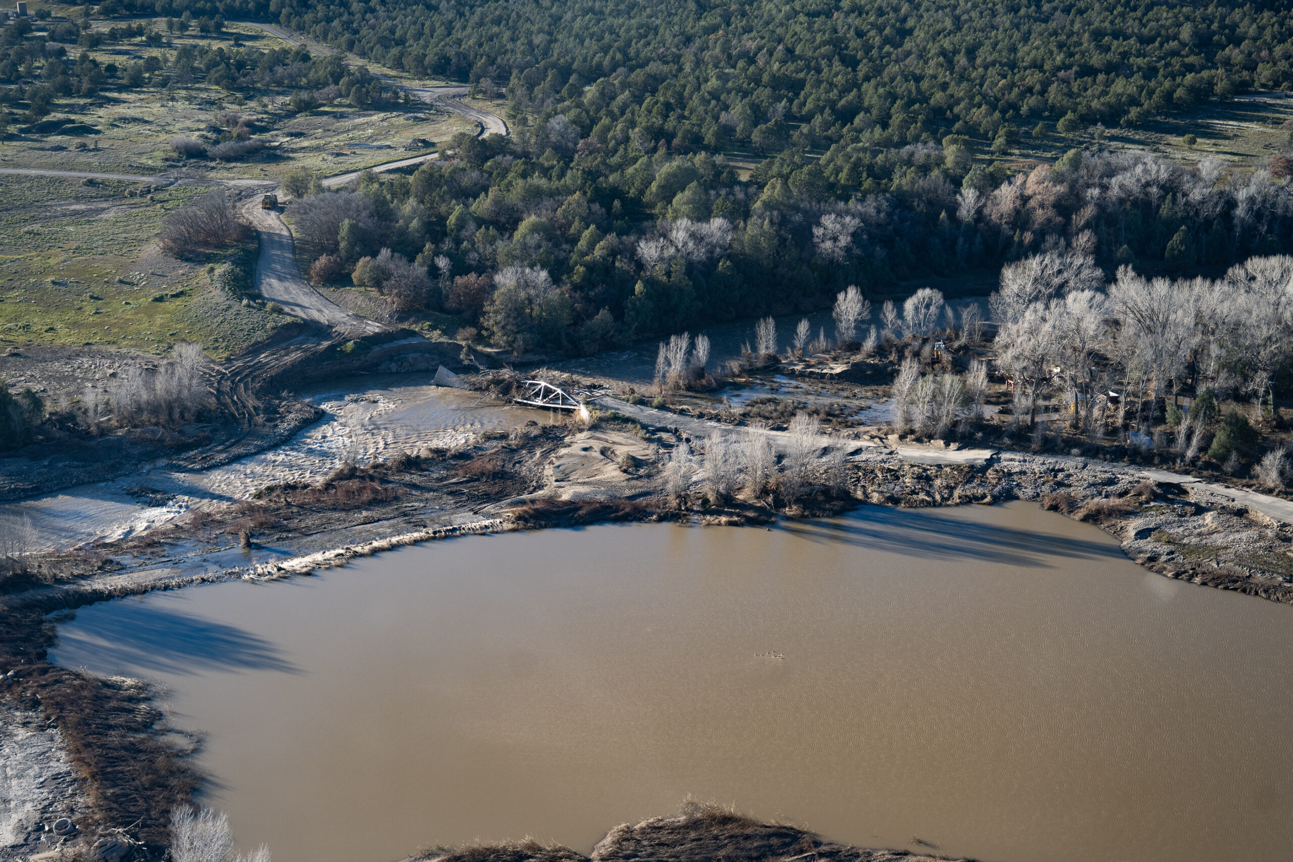
FEMA, the Bureau of Indian Affairs, and Army Corps engineering personnel continue to conduct field inspections and recovery coordination activities regarding damaged infrastructures and Lake Capote access. Immediate concern for additional flooding impacts has been reduced as local river flows continue to recede or remain stable despite ongoing gauge challenges.
The initial flooding impacts prompted various departments and divisions to begin working together to activate response and recovery efforts, in accordance with the Tribe’s Emergency Operations Plan. The EOC has coordinated sheltering, addressing risks to human health, safety, community infrastructure, and other risks to tribal membership. Beginning on Wednesday, Oct. 28 the EOC preemptively reserved rooms at the Sky Ute Casino Resort, issued small scale evacuations, completed home visits with tribal membership, and worked to keep the membership informed with continuous updates to road impacts, water levels, local resources, and more.
Currently, discussion is underway regarding scaling EOC operations to a smaller coordination group as recovery activities stabilize – now the Southern Ute Indian Tribe transitions into flood recovery efforts. According to the official public service announcement released by the Tribe on Friday, Nov. 6:
- the Meadowbrook Trailer Park continues to evaluate mobile homes impacted by flood waters and utility restoration efforts to continue with enhanced safety inspections prior to re-entry. Temporary housing restrictions within the Town of Ignacio have been relaxed to assist displaced residents.
- Available hotel accommodations at the Sky Ute Casino Resort are being reevaluated to maximize support for displaced residents.
- Wastewater utility operations remain normal. Water treatment operations remained fully operational during the afternoon period. Water treatment operations continue meeting EPA drinking water standards despite elevated turbidity conditions. Water treatment operations remain fully operational.
- Sky Ute Fairgrounds personnel report approximately 99% of river flows have returned within channel banks. Remaining minor overflows continue to be mitigated.
- The Southern Ute Water Resources Division has been tasked with developing a water well inventory to support recovery and public health efforts.
- Colorado Highway 151 remains impacted with no estimated completion date on repairs. Highway 550 conditions remain favorable and operational.
- Southern Ute Call Center personnel continue outreach and follow-up activities regarding assistance and public information.
The Southern Ute Indian Tribe remains diligent on continued monitoring of weather forecasts and changes to river conditions, road accessibility, and other developing hazards. All safety precautions and up-to-date information will continue to be provided.
Public information efforts remain active through coordination with neighboring jurisdictions, with continued distribution of weather updates, resource information, well-testing notifications, and roadway status reports.
The Southern Ute tribal membership and community members are still encouraged to avoid flooded roads, washes, and any damaged infrastructures. Community members are also encouraged to adhere to and follow any remaining evacuation orders – remain alert for changing water level conditions and road closures.
Before traveling, check www.cotrip.org and www.readylaplata.org for current road conditions and closures. Traffic cones and signs are in place for public safety; do not move or remove them – follow all posted directions. Drivers should use extra caution. Slick mud may lie beneath shallow water, and multiple vehicles have become stranded. Wildlife may also be more active during flooding. Stay out of floodwater, which can conceal hazards such as downed power lines, human or animal waste, logs, submerged vehicles, and other large debris. La Plata County is also sharing resources related to all impacted roadways through their flood website: La Plata County Colorado.
For current road closure and travel information, refer to these interactive maps:
- La Plata County GIS Map: Updated in real time as road closures occur throughout the county,
including county roads and other roadways.: https://gis.lpcgov.org/readylpc/overview.html
- City of Durango Interactive Map: An additional interactive map showing road closures and affected areas throughout La Plata County.:
https://experience.arcgis.com/…/418d9efe47c0409da15e52…/
Be aware that flooding continues to impact travel throughout neighboring states. Please check travel routes and road conditions through neighboring states by visiting: NMroads.com, AZ511.gov and udottraffic.utah.gov.
More info: http://www.codot.gov/…/swco-highways-additional-flood..
For more information about floodwater safety, visit the Centers for Disease Control and Prevention.
In the event of an emergency or to report hazardous weather conditions, please contact:
Primary Contact for Emergency Calls: 970-563-4401
Southern Ute Call Center: 970-563-0214
Emergency Calls: 911
The supporting information was referenced from the offical Public Service Announcement “Southern Ute Indian Tribe moves into Flood Recovery Efforts” was released by the Southern Ute Indian Tribe on Friday, Nov. 6. For further information, please contact Chairman, Christine Sage at 970-563-0100 or Tribal Information Services at 970-563-4702.