


The last Drought Update was Feb. 6. This past winter in Colorado has been one of the warmest on record (the state experienced the warmest month of March in ~130 years of record) and the state’s snowpack has been the worst on record. With the unprecedented poor snowpack and early runoff, the Water Resources Division (WRD) decided to update the community on current Snowpack, Drought Conditions, and Weather Outlooks.
SNOWPACK
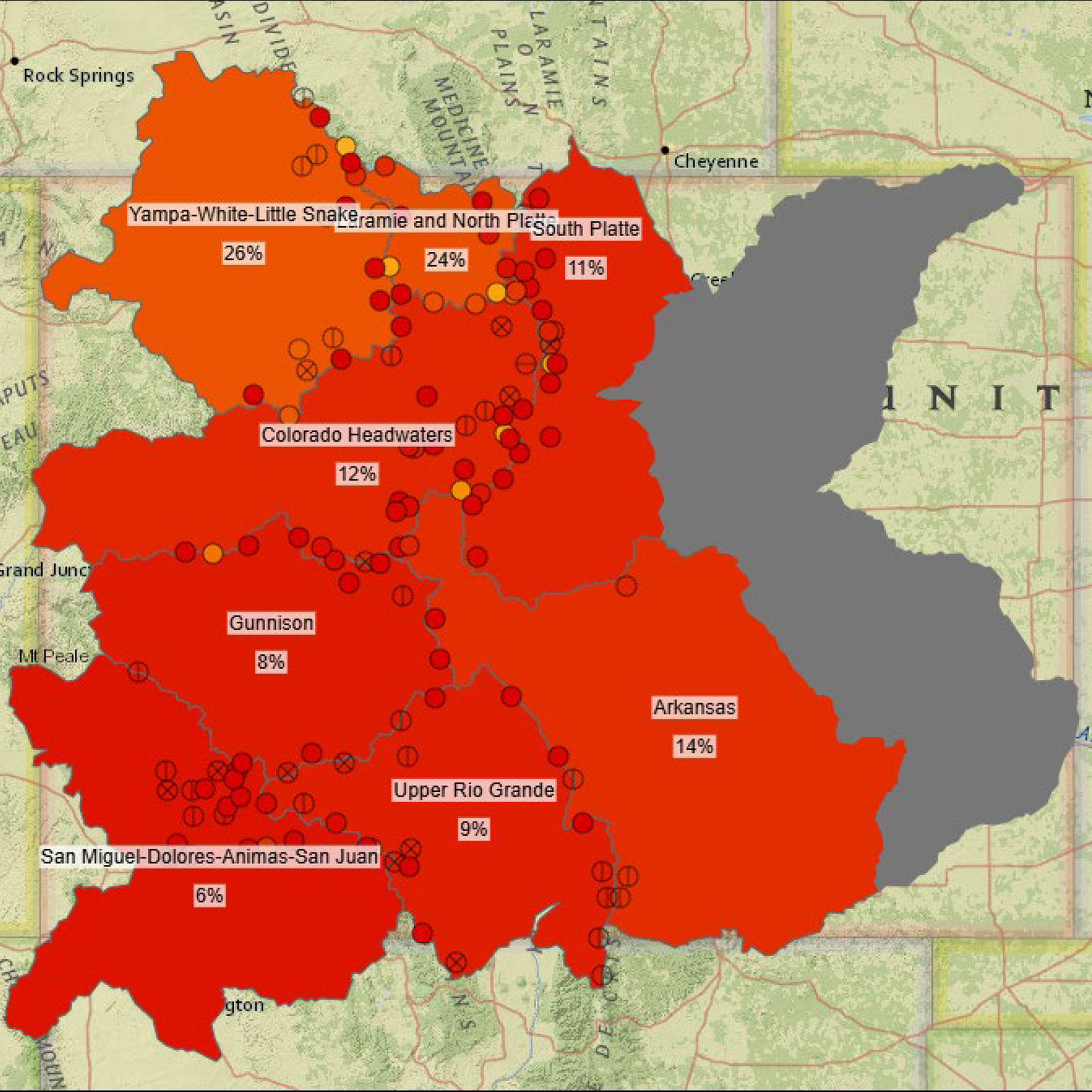
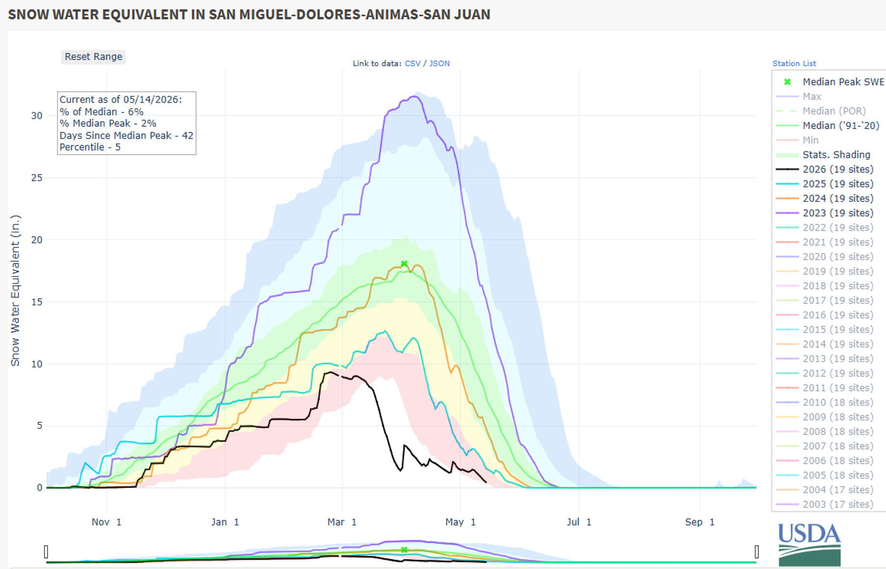
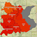
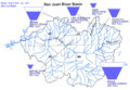
Currently, the San Juan Basin in southwest Colorado is at 6% of the 1991-2020 Median Snow Water Equivalent (SWE) as shown in Figure 1. For context, the winter of 2022-2023 was above-average and the snowpack in our basin on May 14, 2023 was 205% of the 1991-2020 Median SWE.
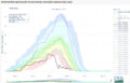
With a record warm March, runoff season started abnormally early. Rivers in our area peaked around late March; however cooler temperatures and some precipitation in April helped slow runoff and maintain some of our dwindling snowpack. This week has been warm, which has resulted in snow melting and yet another peak in runoff for many rivers in our area. The remaining snowpack will likely melt off quickly, but the weather outlooks for this summer look promising and more information can be found below in the Weather Outlooks section.
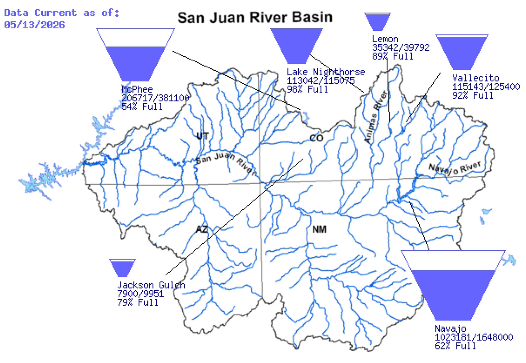
Since January 1, 2026, the rain gage at the WRD office has received 2.6 inches of liquid precipitation. The low snowpack, low runoff, low precipitation, and warm temperatures have resulted in our area experiencing drought for the entirety of 2026 so far. In terms of the irrigation season, although we had a very poor winter, the storage reservoirs are looking very good. The October 2025 rainstorms increased reservoir levels a lot. Vallecito reservoir filled and is currently at 92% full due to releases for increased irrigation demand. The Pine River Indian Irrigation Project (PRIIP) will have a 100% supply this season. Lemon Reservoir was close to filling but is currently at 89% full due to increased irrigation demand. The Florida Project is currently anticipated to have a 70% supply with the season likely ending around the end of July. If the weather transitions to a wet pattern, many things could change.
DROUGHT
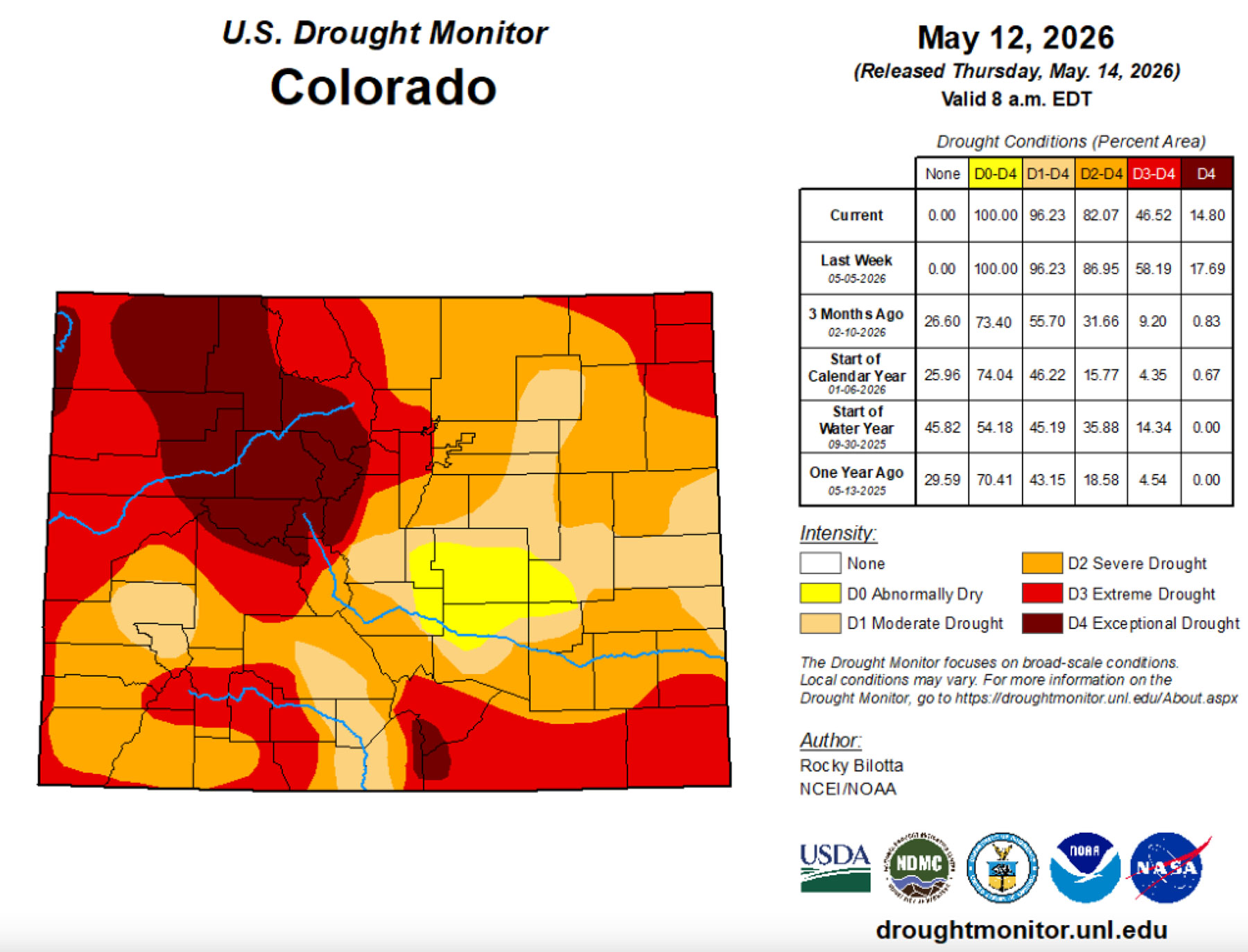
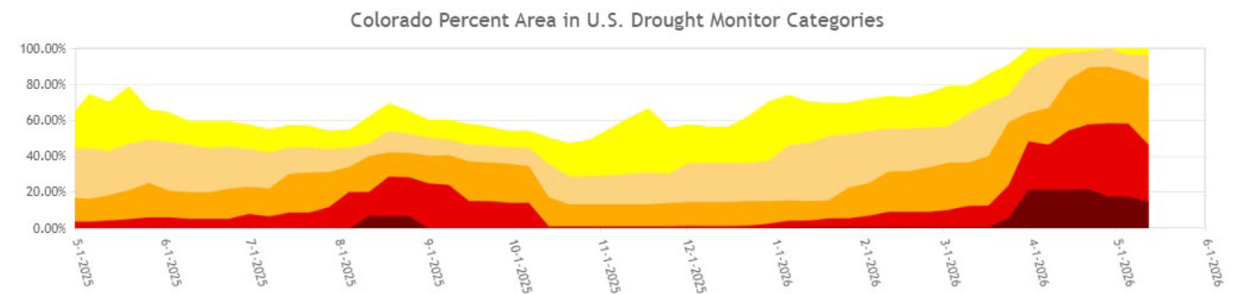
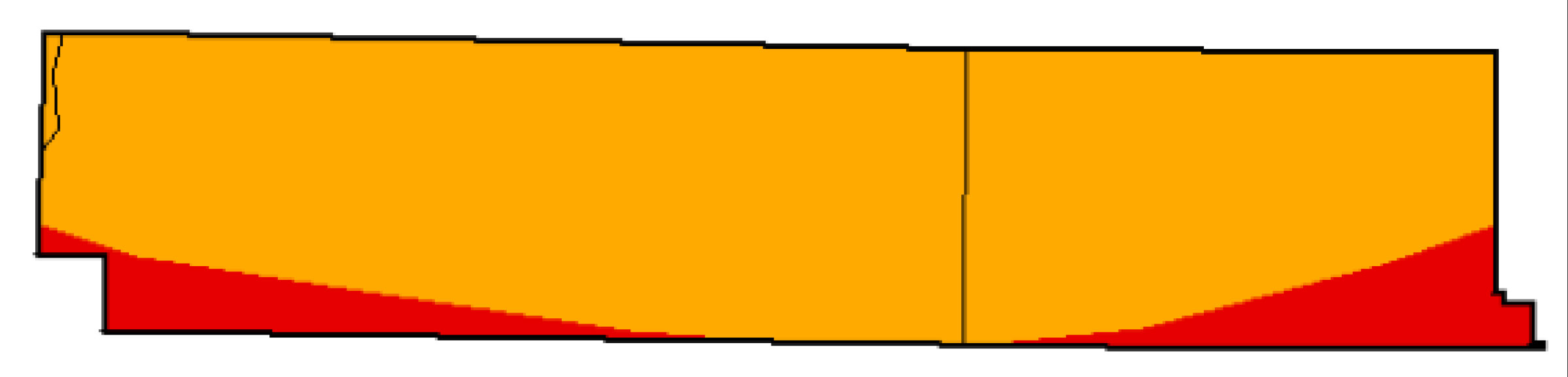
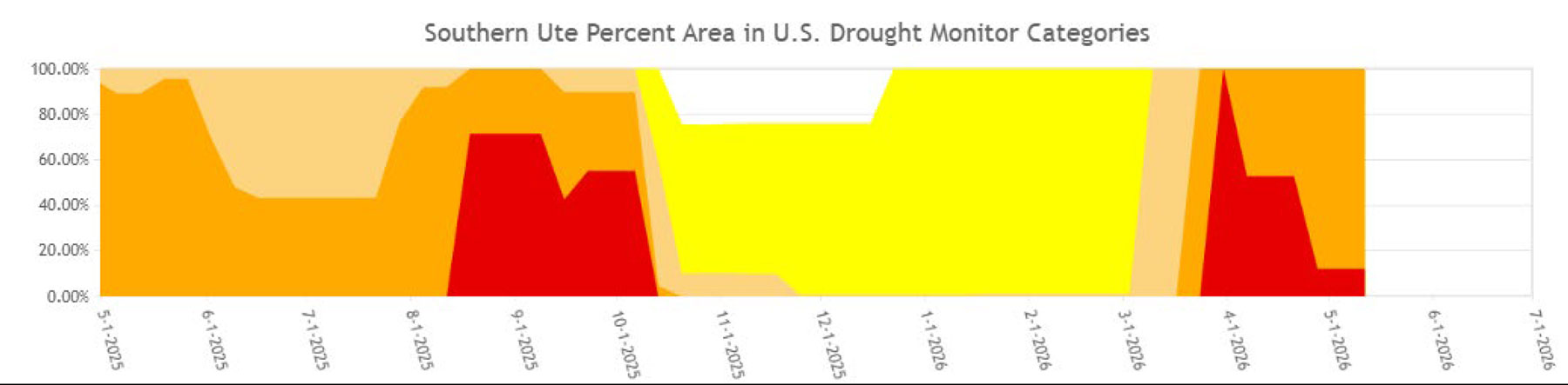
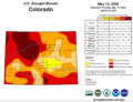
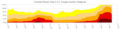
The entire state of Colorado has been in some level of drought for at least a month including the southwestern part of the state which has drought conditions ranging from Moderate to Extreme Drought (Figure 4). Over half the state has been in drought conditions for the past year. The Southern Ute reservation currently has Severe to Extreme drought conditions (Figure 6) and has experienced drought conditions for most of the past year (Figure 7).
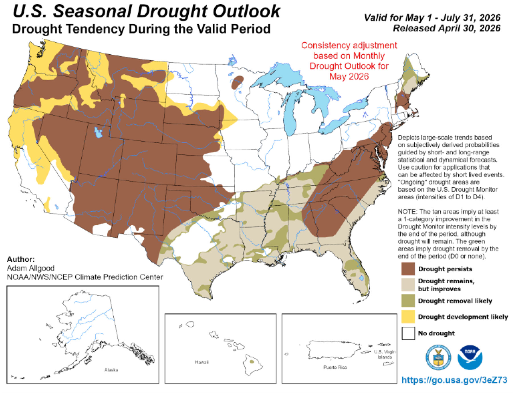
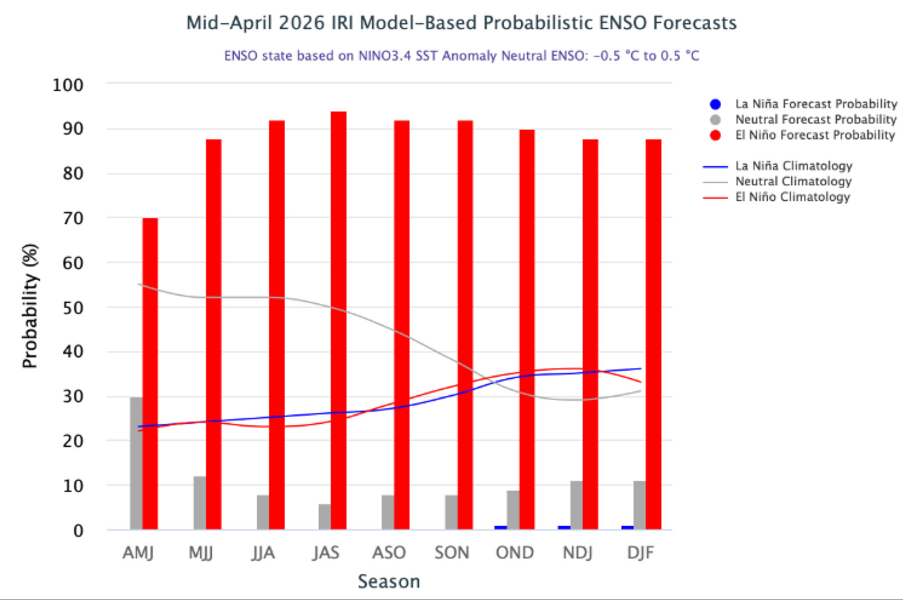
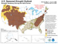
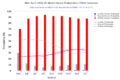
The US Drought Outlook shows southwest Colorado drought persisting through 7/31/2026. The Probabilistic ENSO Forecasts show increasing chances of El Nino probability, so hopefully we will receive some much-needed precipitation throughout the rest of the year. In past ENSO probability forecasts, the blue bars (La Nina) have been the highest over the last few years. In the current forecast, the blue bars are the lowest so maybe we will have a positive change in weather patterns this summer and fall.
WEATHER OUTLOOK
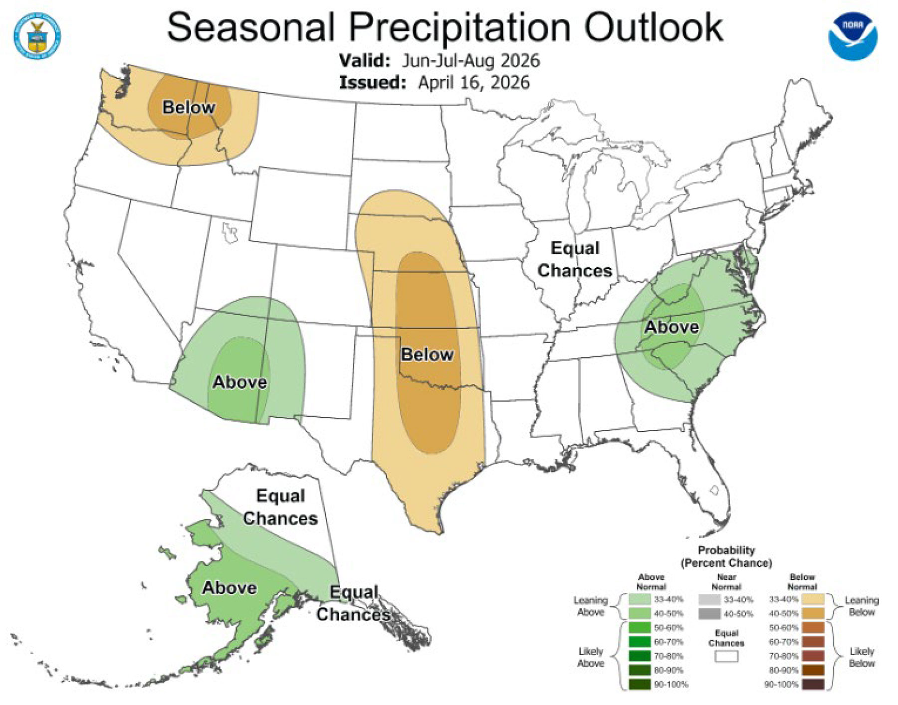
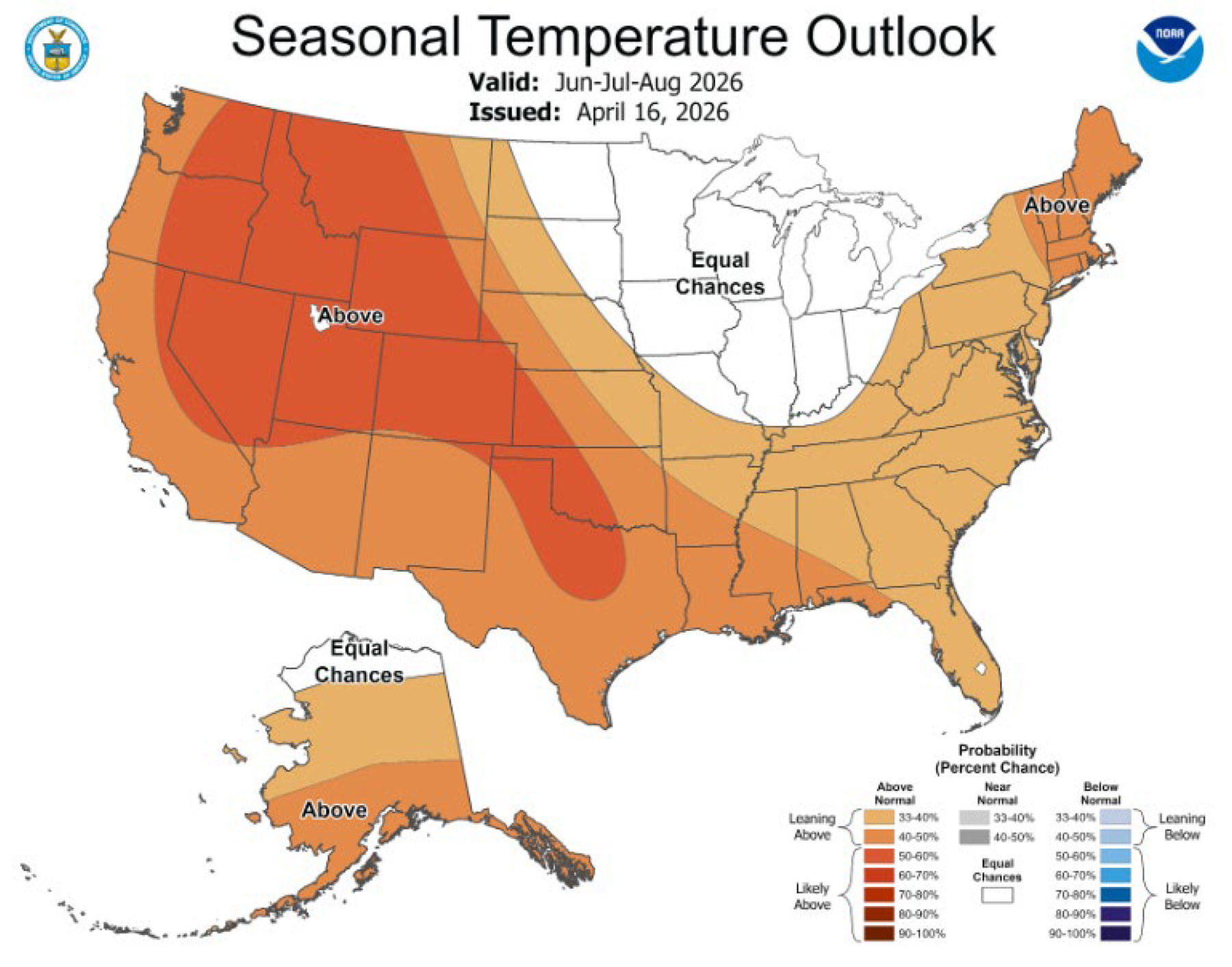
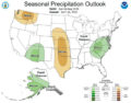
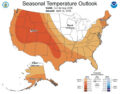
The outlooks for June through August 2026 show southwest Colorado experiencing above average precipitation with above average temperatures. If the models are accurate, maybe we’ll have a decent monsoon season later this summer and bring some much-needed precipitation to our area to relieve some of these drought conditions.
The WRD will continue monitoring drought conditions and update the community periodically. If you’d like more information, feel free to reach out to George Gavrielides, Water Resources Specialist, at 970-563-2932.